

(NEW YORK) — After a day of historic rainfall in California, parts of the South are on alert for flooding on Tuesday as winter storms sweep the United States.
More than a month’s worth of rain fell in San Diego, California, on Monday within a period of just three hours. It was the city’s wettest day in January on record with a rainfall total of 2.73 inches. Typically, San Diego gets 1.98 inches of rain for the entire month of January.
Dozens of rescues were reported across San Diego County due to the historic rainfall.
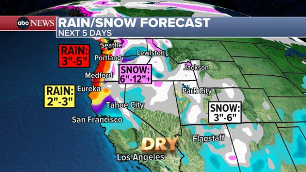
Over the past three days, parts of Northern and Southern California got 5 to 9 inches of rain amid a continuous onslaught of Pacific storms.
Most of California and the West Coast are expected to get a break from stormy weather, but more rain and snow is in the forecast for Northern California on Wednesday.
Part of that western storm that hit California is expected to combine with moisture in the Gulf of Mexico on Tuesday to bring flooding rain with a threat for damaging thunderstorms to the Gulf Coast, from Texas to Georgia. The National Weather Service has flood watches in effect Tuesday morning for six states across the South, from Texas to Alabama.
The highest threat for flooding on Tuesday and Wednesday will be from Houston, Texas; to Little Rock, Arkansas; New Orleans, Louisiana; to Jackson Mississippi; and into Birmingham, Alabama. Local rainfall totals could be more than a half of a foot, with flash flooding in the forecast.
An ice storm that struck states from Oklahoma to Illinois on Monday, leaving more than a quarter of an inch of ice on roads, sidewalks and trees in some areas, is expected to move into the Great Lakes region and parts of the Northeast on Tuesday. Fourteen states from Kansas to Massachusetts were under weather alert for ice and snow on Tuesday morning. Most areas are expected to see a glaze of ice and 1 to 2 inches of snow.
The heaviest ice on Tuesday morning is forecast to hit the Midwest and southern Great Lakes regions, where a quarter of an inch of ice could accumulate.
The Northeast is expected to see an icy mix on Tuesday, with snow for Pennsylvania, upstate New York and the Hudson Valley, northern New Jersey into Connecticut and Massachusetts. There could be slick roads by the evening commute in parts of the Northeast.
Meanwhile, a major thaw is on the way for millions of Americans. Temperatures are expected to surpass 40, 50 or even 60 degrees Fahrenheit in parts of the Midwest and Northeast later this week.
Copyright © 2024, ABC Audio. All rights reserved.